


New here? Start with the introduction to Maritime World →
Read the story below. The companion essay, with my case, the sources and the strongest objection, follows the panels. Story by Nick Collins. Artwork made with Midjourney. Subscribe to get new episodes delivered to your inbox.
NEXT>



NEXT>
Next: Episode 2, The World Before the Water.
All episodes, the reading order and how the series works: Maritime World: start here →
About the author
I spent forty years in international shipping, in London, Tokyo, Singapore and Dubai, before writing a three-volume history of maritime trade. Maritime World is my own original work, drawing on that research. More about me and my books at maritimetradehistory.com.
Why We Missed the Drowned Cities
This essay accompanies Episode 1 of The True Cradle. The episode is dramatised and states its case with confidence. Here I make my case for what it shows, name my sources, and set out the strongest objection and my answer to it.
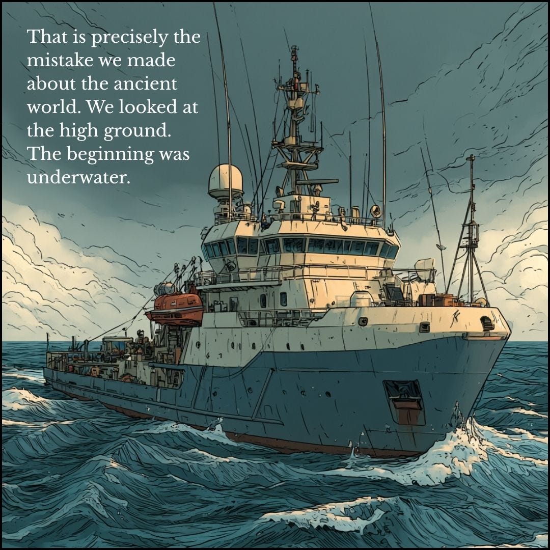
When sonar finds walls forty metres under the sea, the first thing anyone asks is how old they are. I also want to ask something else. Why did a discipline that had been searching for the origins of civilisation for a century and a half learn about the earliest ports of the Indian subcontinent in the year 2000, from a team of marine geologists who were not looking for them?
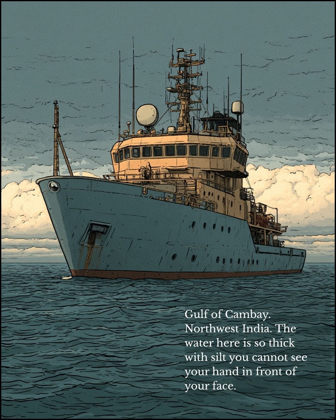
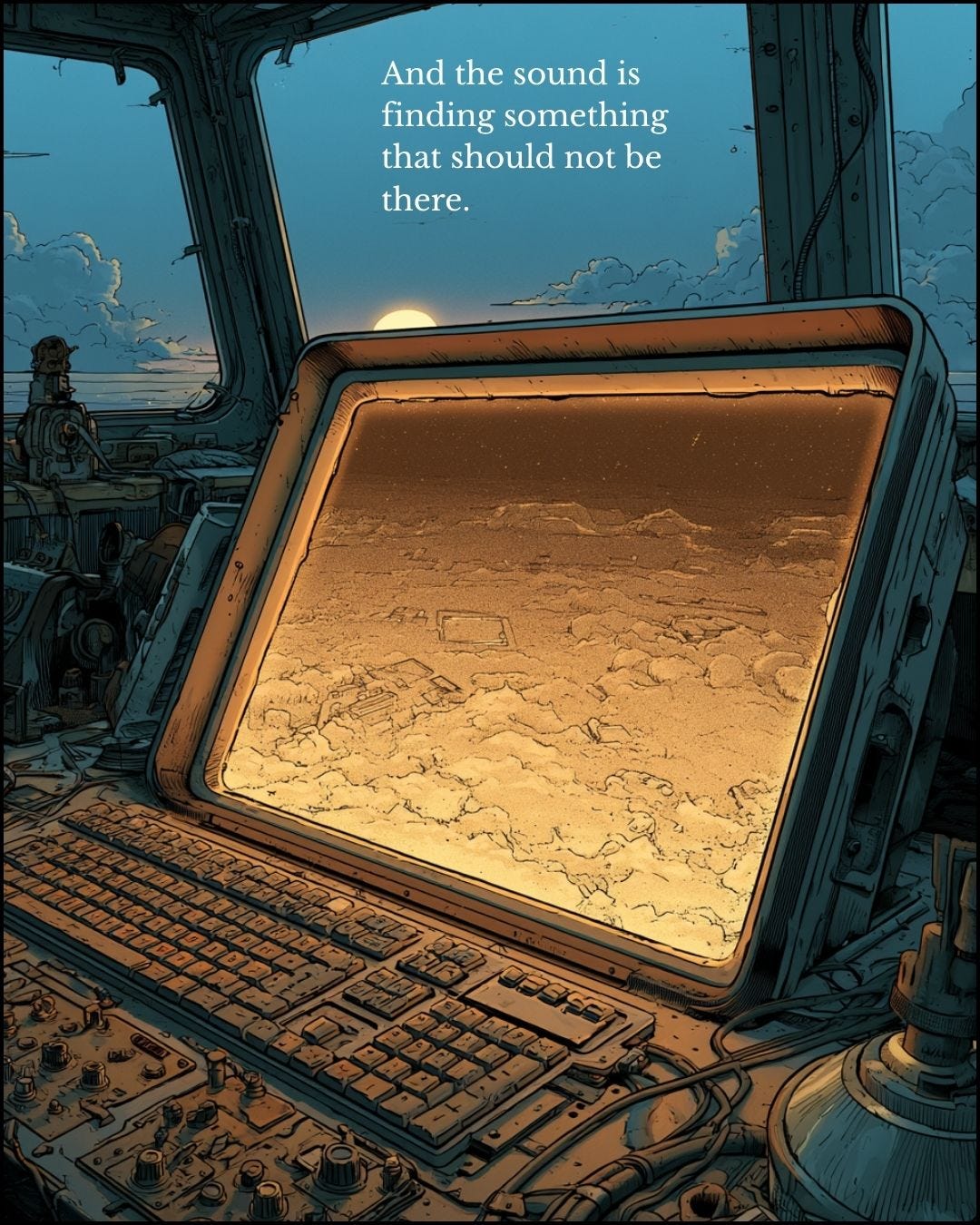
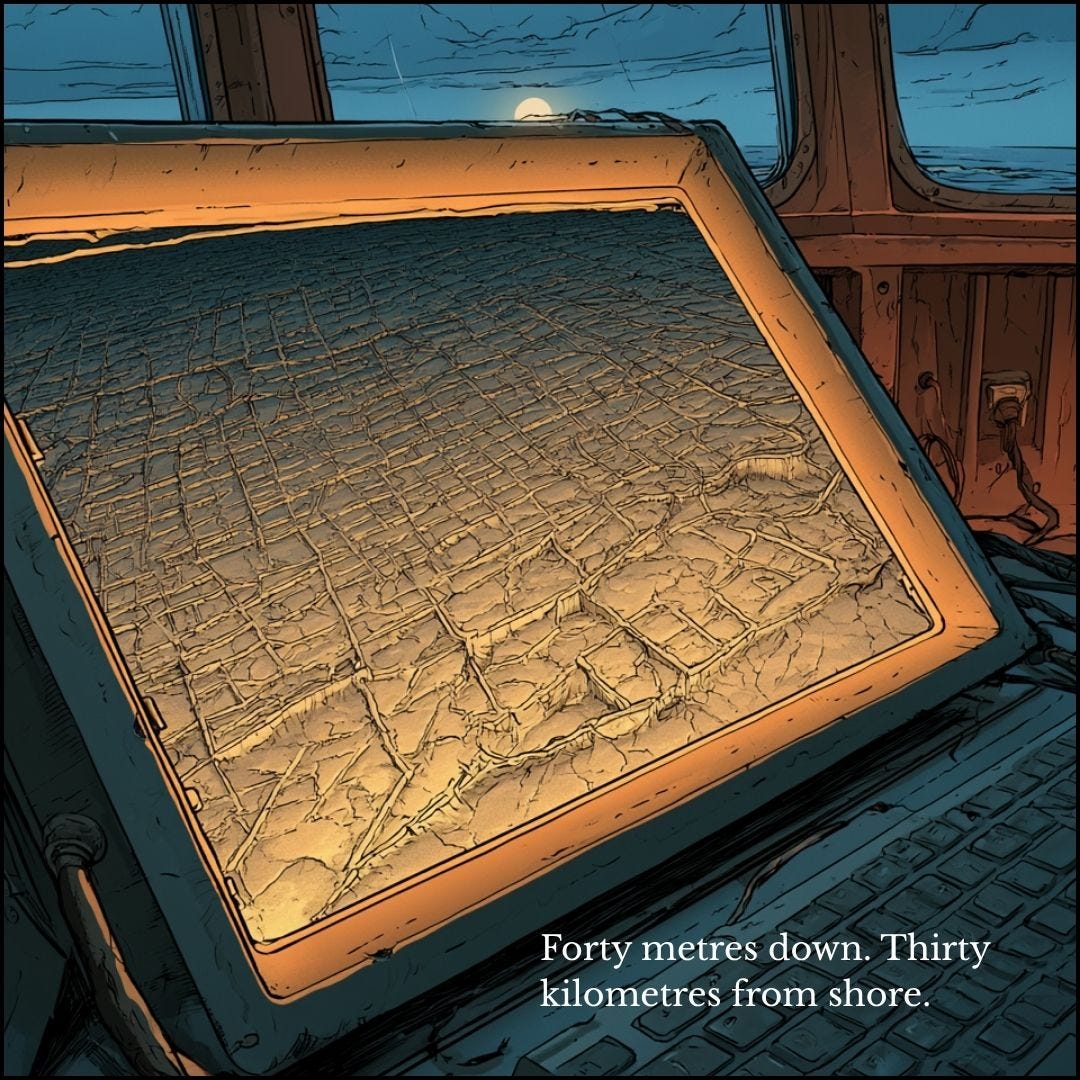
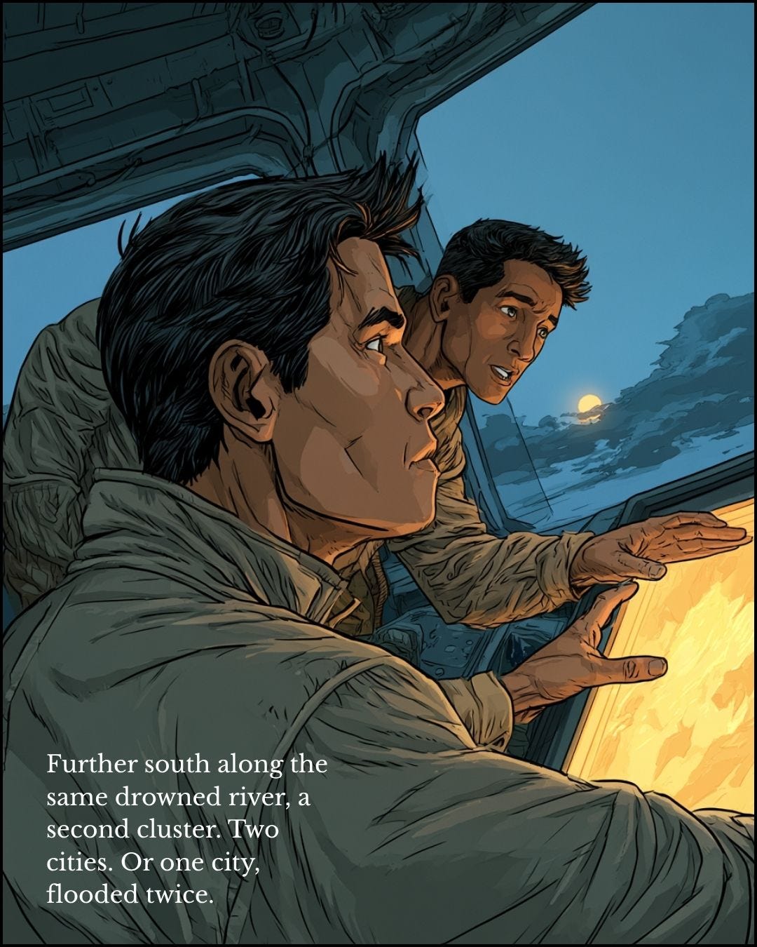
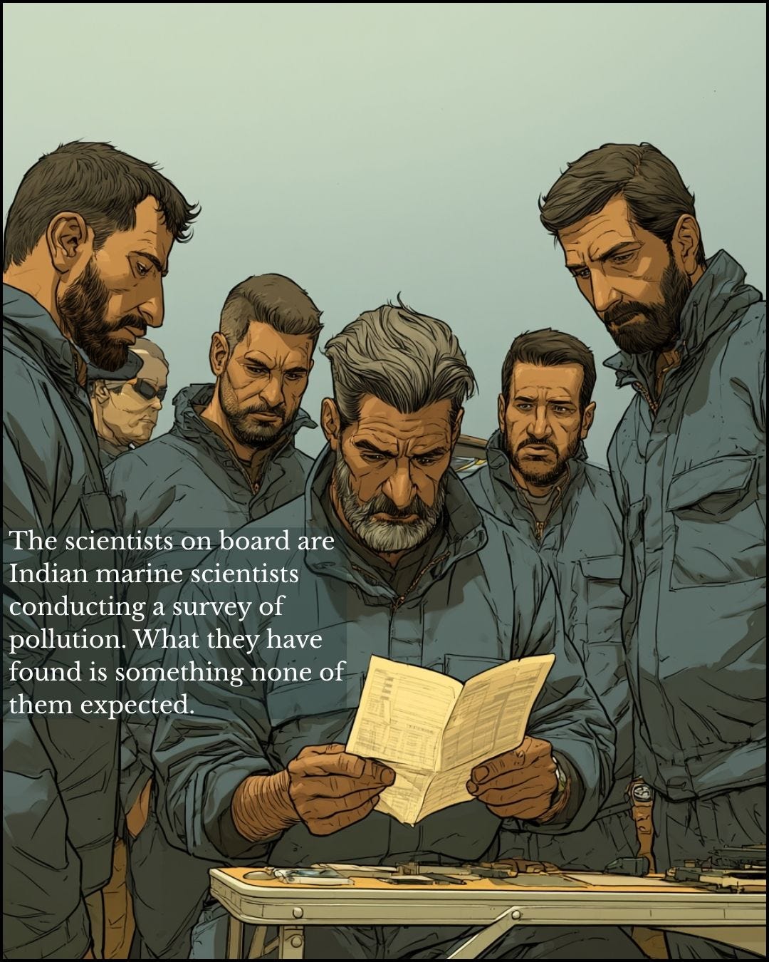
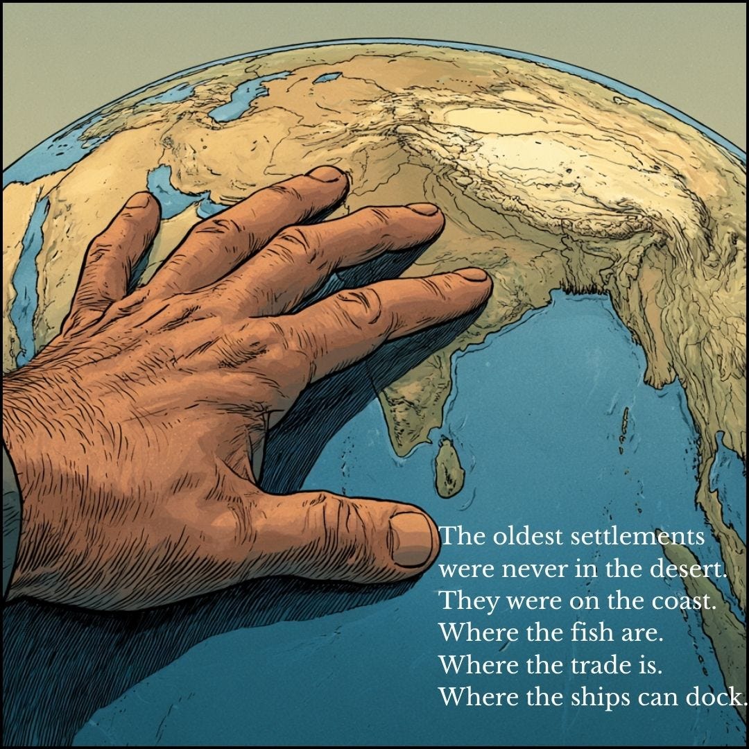
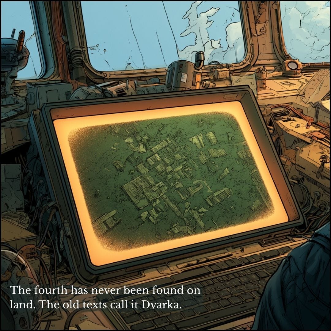
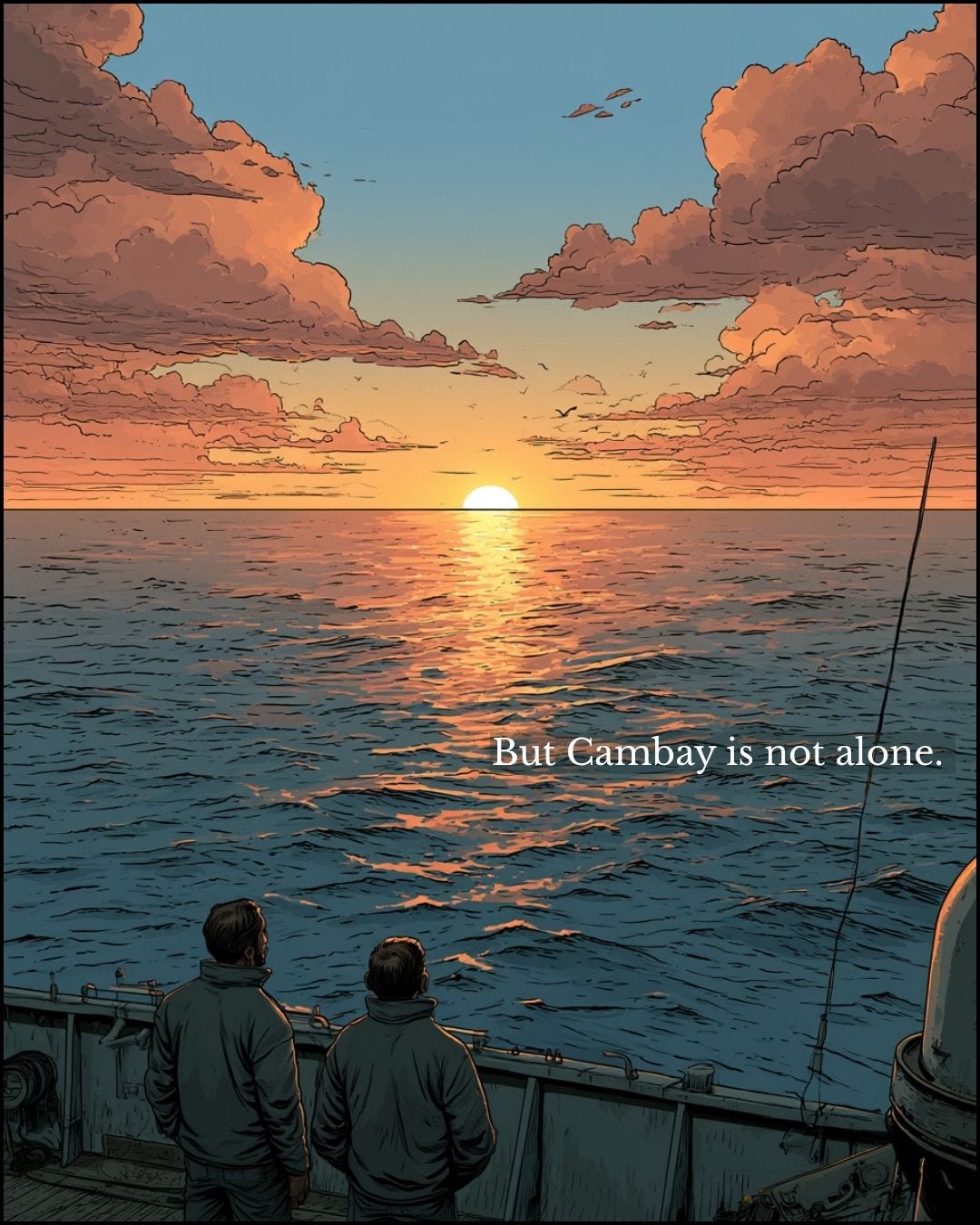
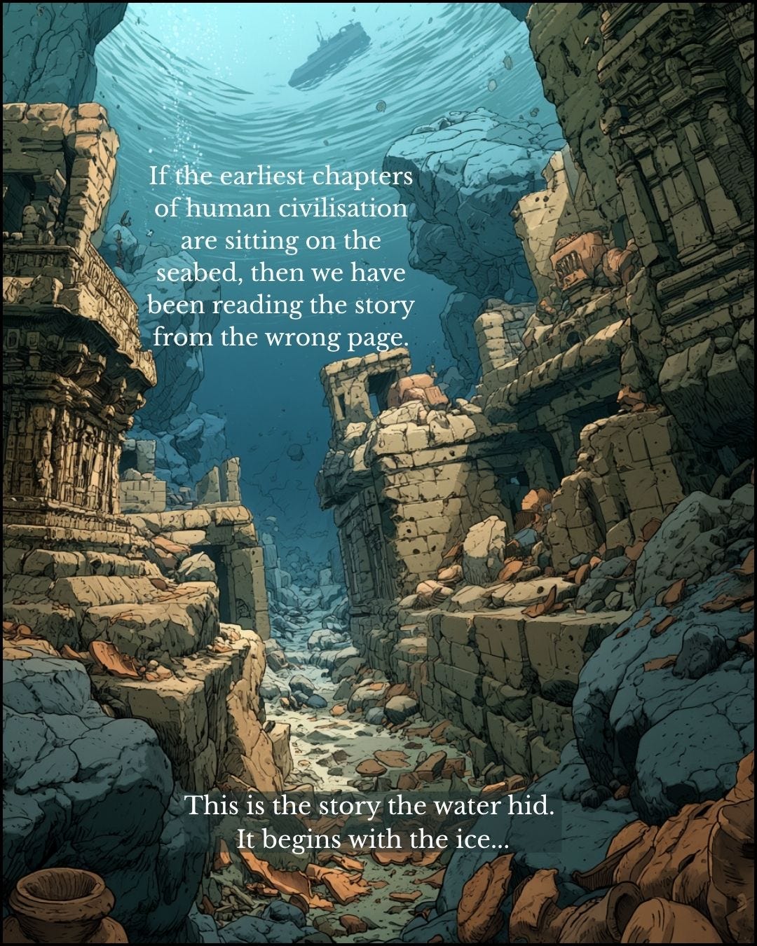
The team belonged to India’s National Institute of Ocean Technology (NIOT) and was surveying pollution in the Gulf of Cambay. Its sonar returned large rectangular walled structures up to three metres tall, covering an area about nine kilometres by two along the banks of an ancient river, 40 metres down and more than 30 kilometres offshore. A second cluster lay a little further south on the same river. Two settlements, or one drowned twice, which is what you would expect on a coast that flooded in stages as the ice melted.
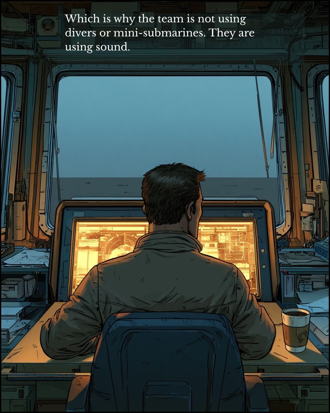
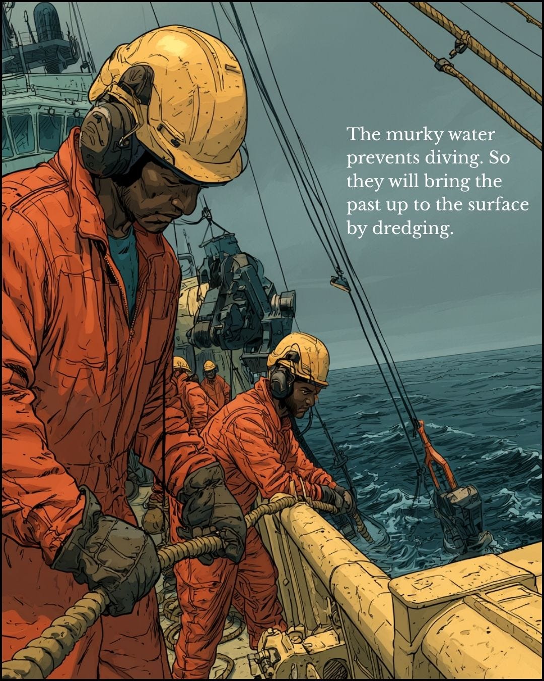
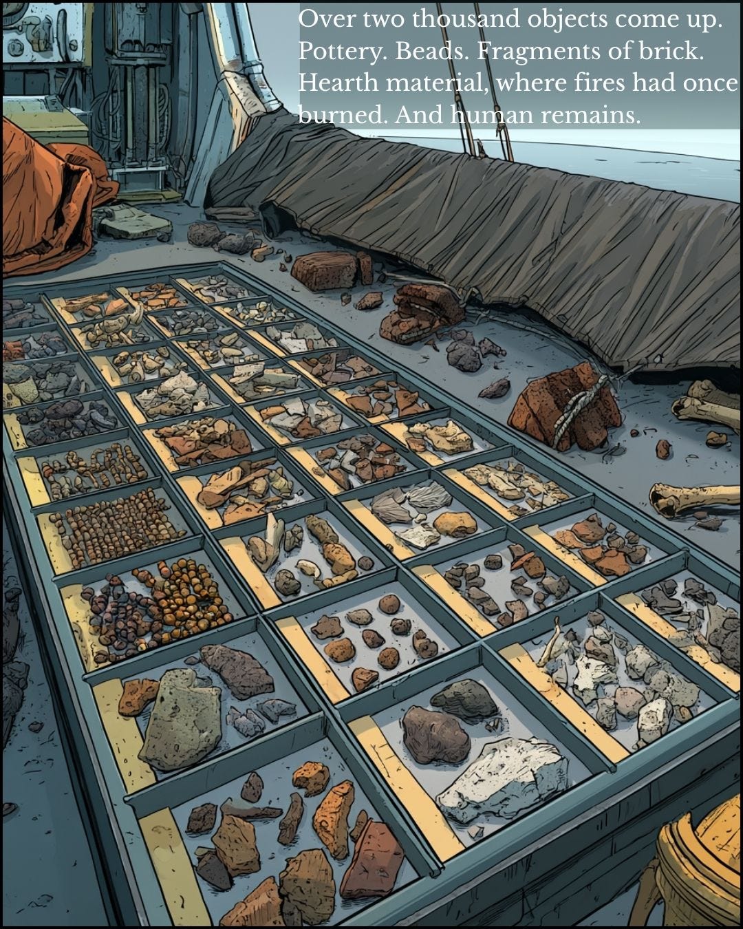
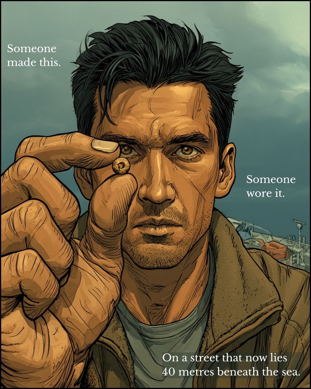
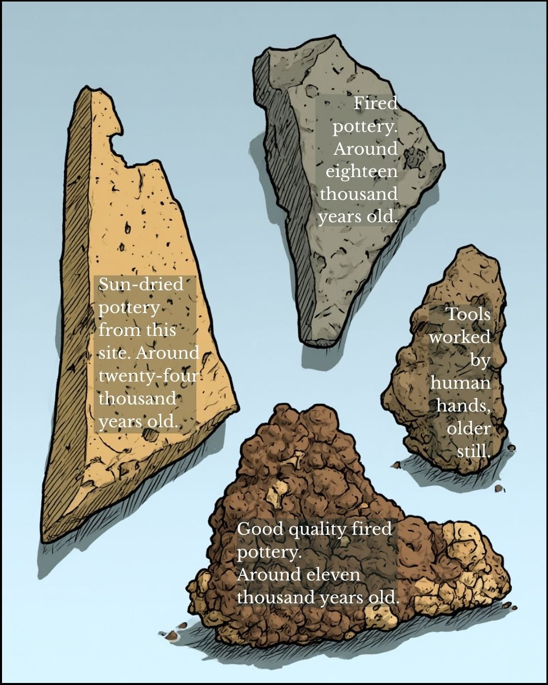
Several rivers empty into the Gulf and the winds churn it brown. Divers cannot work there and visibility is close to nil. So the team used sonar, magnetic surveys, sub-bottom profiling, boring and dredging, and brought up over 2,000 objects: pottery, semi-precious stone beads, brick, wattle and daub, hearth material, worked stone tools and what were reported as fossilised human remains. S. Badrinarayanan, the NIOT’s chief geologist on the site, argued that sun-dried pottery was being made there from around 24,000 BC and good-quality fired pottery from around 11,000 BC. No laboratory dates for the pottery have been published. The published radiocarbon dates, from dredged wood, are around 7500 and 5500 BC.
The case against
Many archaeologists do not accept those dates, and some go further. They doubt the structures are man-made at all. The sonar shapes, they argue, could be natural features of the seabed. The objects could be naturally worn stone, or debris carried down by the rivers that empty into the Gulf. And nothing has yet been excavated where it lay. Dredged material cannot be stratified, so it cannot be tied to the structures beside it. These are fair points, and only proper excavation in the Gulf will settle them.
Even so, I find a purely natural explanation hard to accept. Right angles do occur in geology, but here they occur in number, along the banks of a drowned river, exactly where anyone who studies trade would expect a port: at the mouth of rivers draining one of the most productive hinterlands of the ancient world. And more than 2,000 objects, many of them worked, is a great deal of material to explain away as debris.
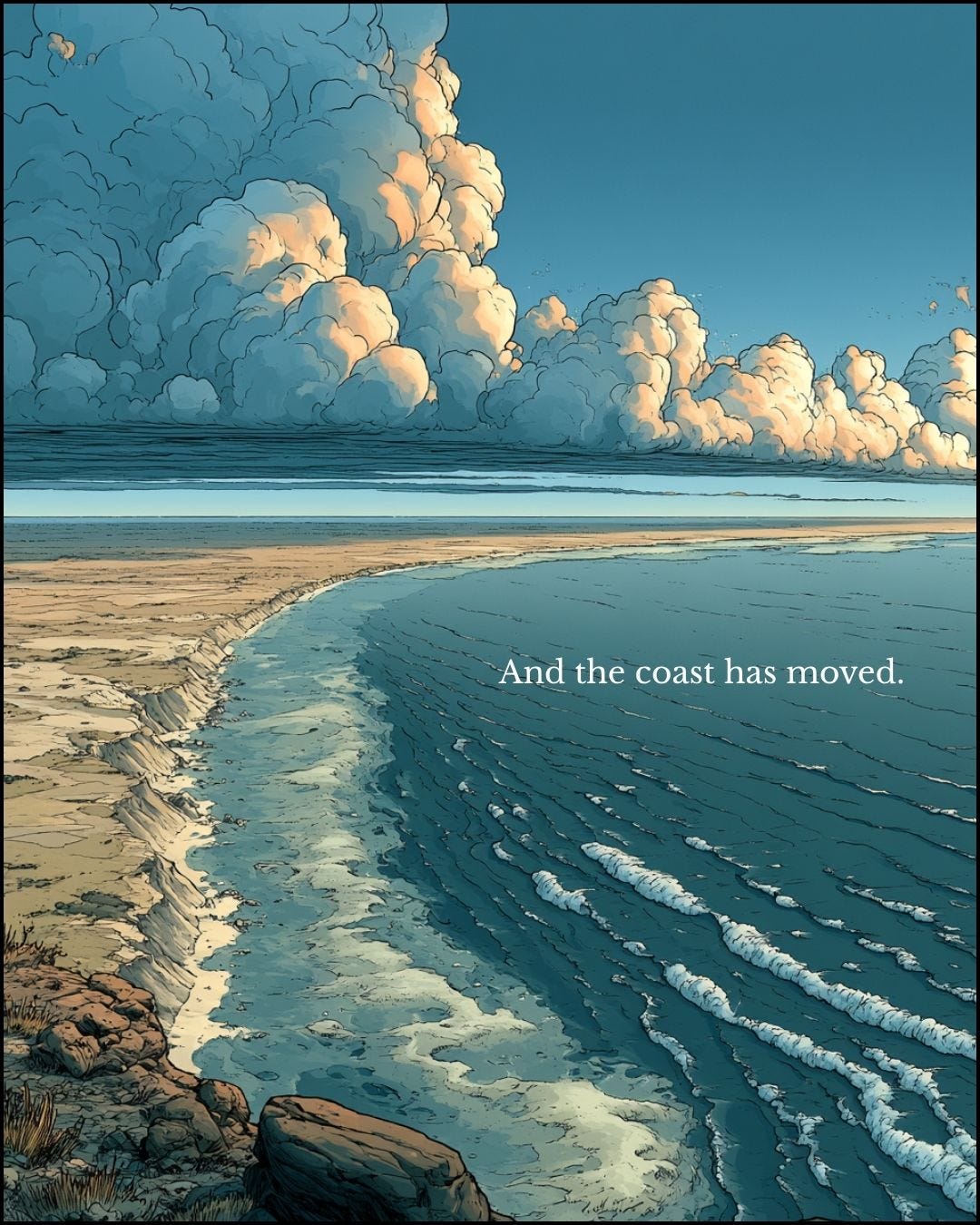
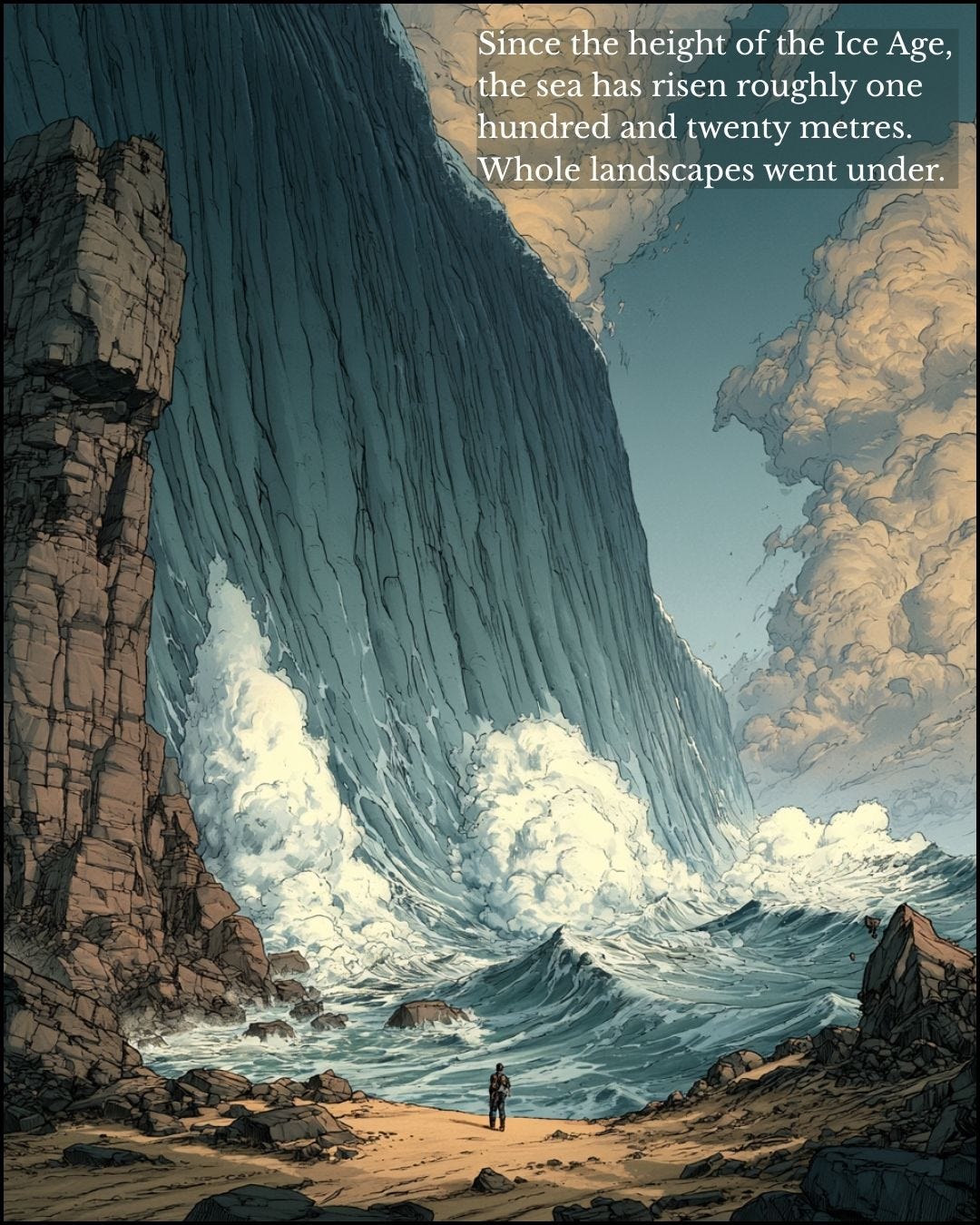
There is also a larger point, which does not depend on Cambay at all. Nobody seriously disputes that the sea rose roughly 120 metres after the Ice Age and drowned whatever stood on the old coast. That coast is where the earliest ports should be, and it is the one place archaeology has barely looked.
So why did it take sonar?
How the cradle ended up in the desert
Three things shaped the old account, and none of them was unreasonable at the time.
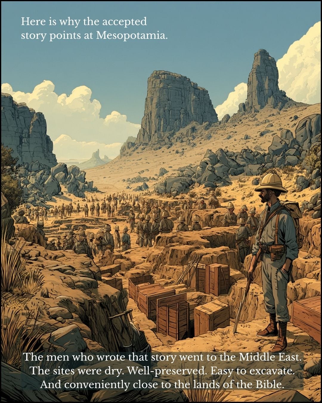
Nineteenth-century archaeology had spades. It could not image the sea floor or take sediment cores thirty kilometres offshore, so it worked where the ground was dry. Sonar came later.
It also went to the Near East first. Mesopotamia was reachable, politically accessible under Ottoman and later British influence, and above all it was the land of the Bible, at a time when evangelical Christianity dominated public life in Britain and Europe. Scholars and money followed. Sites in a dry desert are relatively easy to find and well preserved, and whatever is found first sets the terms for everything after.
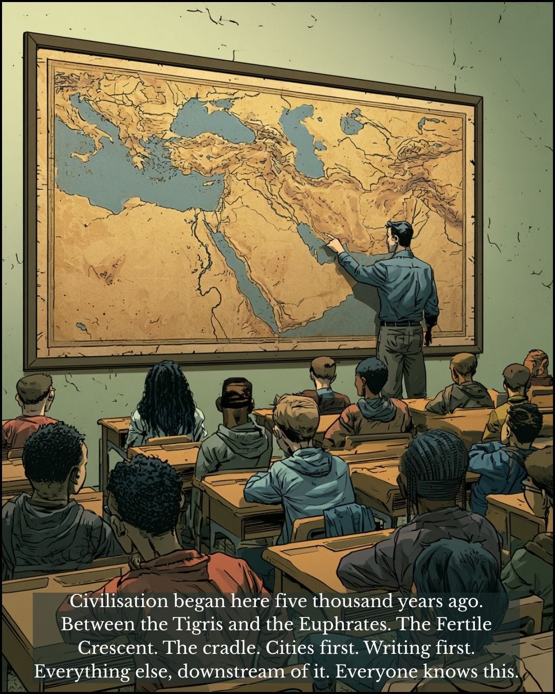
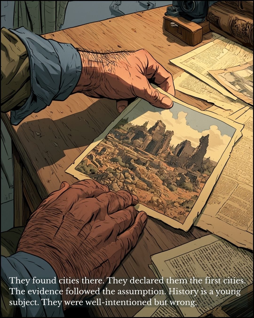
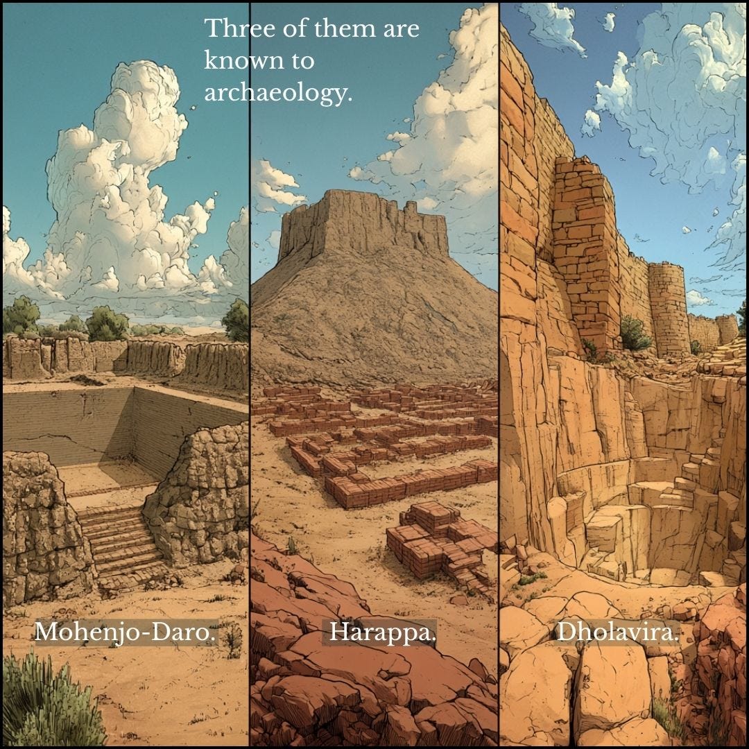
Once Ur, Uruk and Eridu were declared the earliest cities, the model of how civilisation began was built around them: irrigation farming on river floodplains, producing surpluses, then hierarchy, writing and monumental building. It was coherent and it fitted the evidence. A century of further work has refined it without overturning it.
The trouble lies with the evidence it fitted. The model assumes that what survives on dry land is a fair sample of what once existed. I do not accept that.
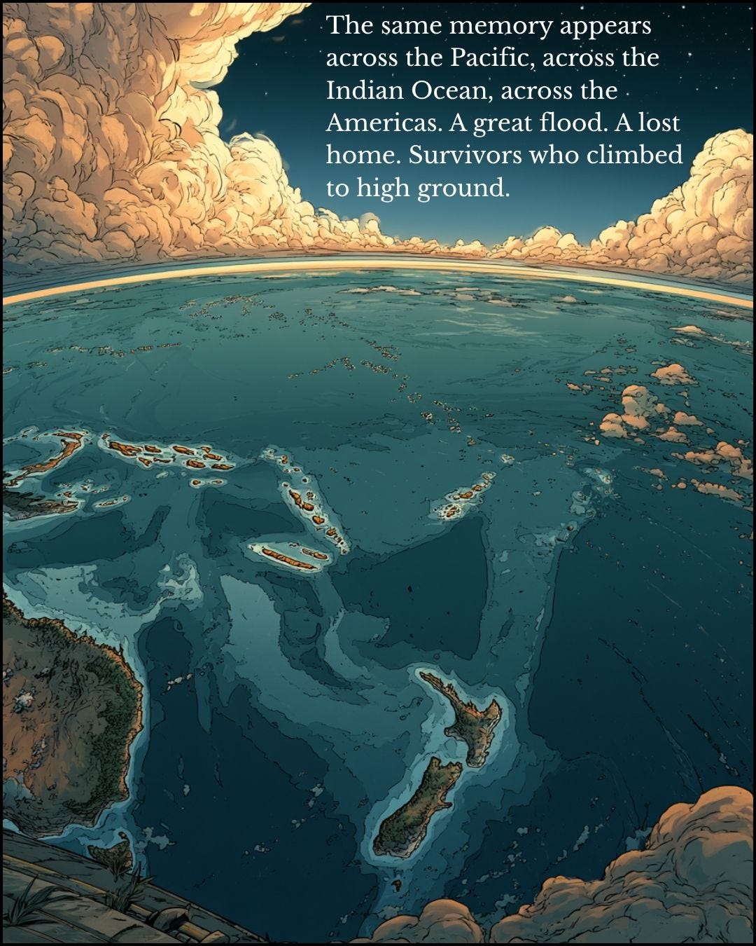
On the reconstruction I follow, the sea rose in three great surges, around 12,000, 9,500 and 5,600 BC, as the vast meltwater lakes held back by the ice over Hudson Bay and James Bay gave way. Even before the last of them, the sea stood some 20 metres lower than today. Twenty-five million square kilometres of habitable land went under. Every port, coastal settlement and harbour town of that older world is now on the seabed. The record we excavate is the record of whoever lived on higher ground.
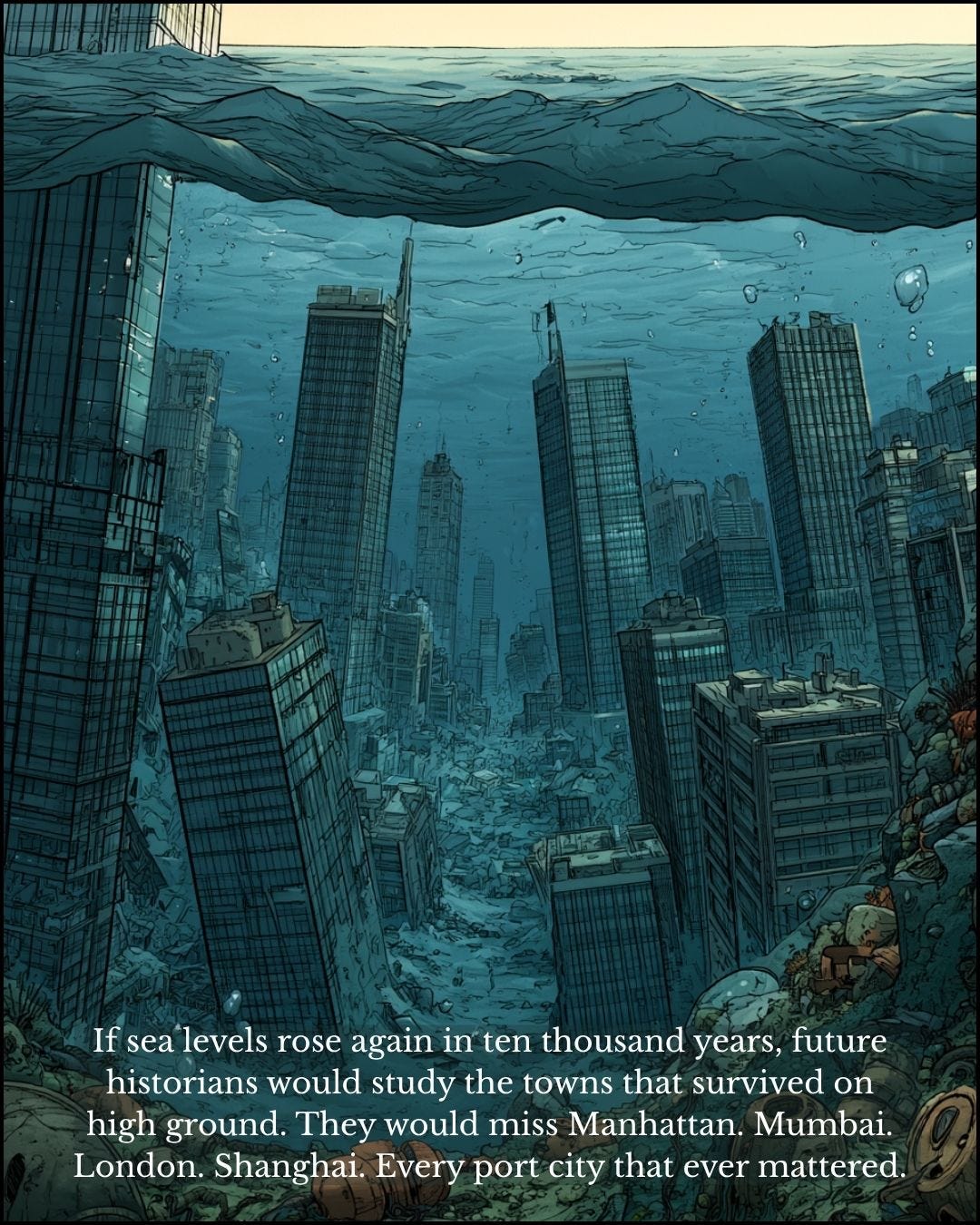
Imagine the same thing happening to us. If the seas rose again over the next 10,000 years, archaeologists could dig in Moscow, Denver, Chamonix, Delhi, Johannesburg and Las Vegas. They would get a flavour of our lives. They would have no idea that around 80 per cent of world trade by volume goes by sea, because London, Mumbai, Shanghai, Rotterdam and New York would be under water. They would decide we were an inland people. That is roughly what we have decided about the world before 5,600 BC.
Woolley’s Flood
How a discipline reads its evidence matters as much as where it digs, and the best example I know comes from Ur itself.
Between 1928 and 1934 Sir Leonard Woolley sank a deep shaft through the occupation layers of Ur and struck eight feet of clean, water-laid silt with no trace of human activity in it, and more occupation beneath. He records that his wife looked at it and remarked, “Well, of course, it’s the Flood.” Woolley agreed, announced that he had found the flood of Genesis and the Sumerian king lists, and the story went round the world.
It was an understandable reading. People still thought of the Flood as a local, biblical event in Mesopotamia, so a flood layer in the city of Abraham looked like confirmation of everything the field already believed.
The deposit dates to between 3,500 and 3,100 BC. Ur stood on the Euphrates, which later shifted its course, and in antiquity, before rivers were tamed and managed, a change of course in a delta was catastrophic. Anyone who has seen the mouth of the Euphrates, still turbulent, swollen and brown with silt, can picture it. Eridu and other Sumerian sites have similar layers from different dates in the 4th and 3rd millennia BC. Woolley had found a bad river flood, one of several.
He was a fine excavator working with the ideas of his day, and he saw what he had been brought up to expect. So did most of his colleagues. The far greater flooding that drowned the coasts of the Indian Ocean left its evidence on the continental shelves, out of reach of any spade.
The drowned coast
Mesopotamia matters. My argument is that it was an important trading partner of an older maritime world whose ports now lie under the sea, and that once the sea-level curves were known, archaeology should have gone looking for that world.
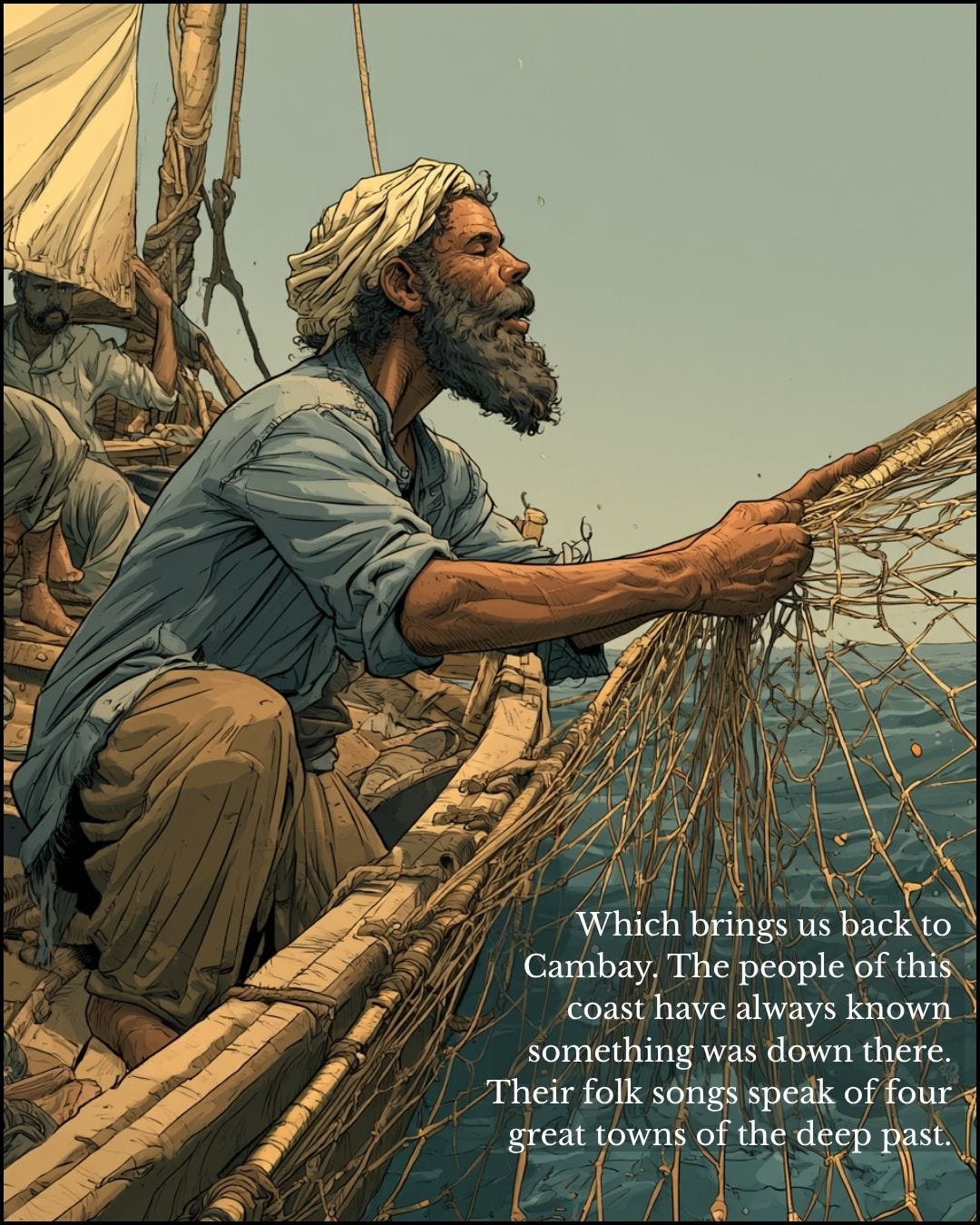
India’s coasts show how readily the sea takes its cities, and why every claim has to be tested under water. Off Poompuhar in Tamil Nadu, the port the Tamil epics called Puhar, researchers claimed in 2023, from seabed data, a harbour more than 15,000 years old. Divers working off Poompuhar in 2026 found something different: ring wells, pottery and a West Asian trade jar, the remains of the thriving Chola port that Sangam literature describes, from around the 4th-3rd centuries BC. The sea took it long after the Ice Age, it seems through repeated tsunamis. At Mahabalipuram, where local people say a great flood swallowed the old city in a single day, the British traveller John Goldingham wrote those stories down in 1798, long before anyone thought to dive there. Structures have since been found offshore, and those dated so far also went under in historical times.
Older sites may lie further out and deeper down. Off the Konkan coast, archaeologists from Deccan College have traced a wall-like structure in sections along some 24 kilometres, nearly three metres high and about three metres under water, which the National Institute of Oceanography dated from sea-level mapping to around 6,000 BC. If it is man-made, it took a well-organised society to build it. Cambay lies forty metres down, deeper than any of them.
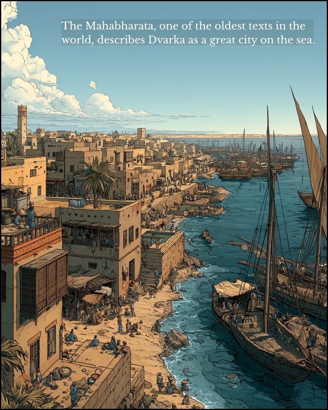
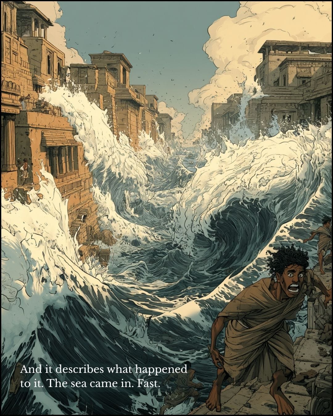
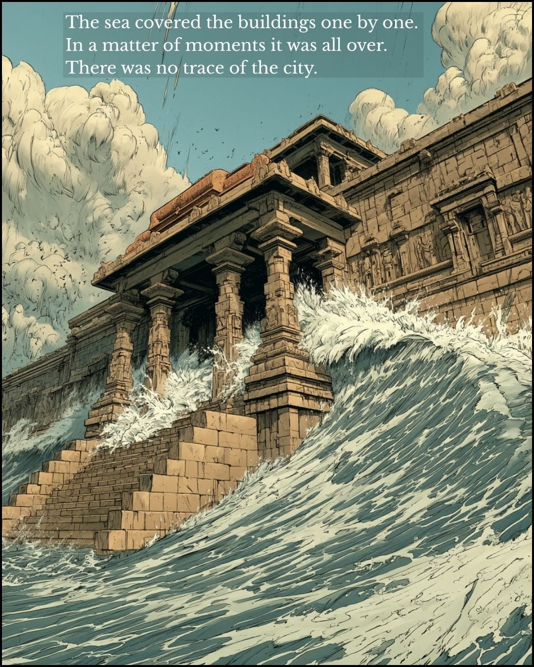
Then there are the texts. The Mahabharata describes Dvarka as a rich port on the sea and records its end. In one widely quoted rendering, Arjuna says: “I saw beautiful buildings becoming submerged one by one. In a matter of a few moments it was all over.” For most of the last two centuries European scholars filed this under myth. The sonar images from Cambay should at least make us read it again.
If I am right, marine surveys on the drowned shelves of the Indian Ocean and Southeast Asia will keep finding sites like these. If I am wrong, they will come back empty. I expect the former.
The pattern is an old one. A discipline settles around the evidence its first methods could reach, then reads new evidence through the same lens long after better tools have arrived. Woolley called a river flood the Flood because he was steeped in biblical stories. Poompuhar shows the opposite danger, reading too much antiquity into new evidence. The answer to both is the same: go and look. For a century and a half archaeology has hardly looked at the drowned coasts. The next twenty years of survey work will show who is right, but this is where we should be looking.
Further reading
The full argument
This essay is a short answer to one question. My longer essays set out the research behind this episode in more depth, with the evidence and sources.
When the Sea Took Half the World: how the end of the Ice Age drowned the coasts where people lived and traded.
Mesopotamia Was Never the Cradle of Civilisation. India Was.: why the story of civilisation was built around the deserts of Iraq, and what that left out.
The argument is developed at greater length in my book How Maritime Trade and the Indian Subcontinent Shaped the World.
Sources
S. Badrinarayanan, “Gulf of Cambay: Cradle of Ancient Civilisation”, Archaeology Online: the chief geologist’s own account of the NIOT finds and his proposed dates.
Anubha Charan, “The Lost City of Cambay”, History Today: a report of the NIOT finds and the first carbon dates.
The objections to the Cambay finds are summarised, with references to the critics, in the Wikipedia article “Marine archaeology in the Gulf of Khambhat”.
C. Leonard Woolley, Ur of the Chaldees (1929) and Excavations at Ur (1954): his own accounts of the flood layer, best read alongside later reassessments of it as a river flood.
Stephen Oppenheimer, Eden in the East (1998), on the three great floods; and Kurt Lambeck and others, “Sea level and global ice volumes from the Last Glacial Maximum to the Holocene”, PNAS (2014), for the mainstream sea-level record.
S. M. Ramasamy and colleagues, Bharathidasan University (reported January 2023), on a harbour inferred from seabed data off Poompuhar; and the underwater exploration by the Tamil Nadu State Department of Archaeology and Indian Maritime University (September 2026), which recovered ring wells, pottery and a West Asian torpedo jar from an early historic port.
A. S. Gaur, Sundaresh and others, CSIR National Institute of Oceanography, “Time and Causes of Submergence of Ancient Temple Structures Off Mahabalipuram, East Coast of India”.
Ashok Marathe, Deccan College, Pune, as reported in DNA (May 2011), on the submerged structure off the Konkan coast and its estimated date.
The Mahabharata, Book 16 (Mausala Parva), as rendered in Karen Mutton, Sunken Realms: A Survey of Underwater Ruins from around the World (2009), p. 222.
© 2026 Nick Collins. All rights reserved. The text and artwork of Maritime World may not be reproduced, adapted or used to make derivative works without written permission. Sharing links, and quoting short passages with credit, is very welcome.
Knockout article. Thank you!
Submerged buildings make instant reefs and attract fish. Fish attract fishermen. Fishermen see buildings under the water and infer merpeople. So stories of merpeople are evidence of submerged buildings.